About Us
Greene Geospatial Ltd was formed following many years of consultancy experience in the construction, environmental and residential housing industries, and the ever increasing need for high quality geospatial data for any project, big or small.
We aim to provide our clients with the highest quality drone and ground surveys for a site of any size.
Greene Geospatial provides both off-the-shelf and custom survey packages to tailor to our clients' needs, providing a range of deliverables including orthomosaic site imagery, surface models, 3D models and volumetric calculations.
Please have a look at 'Our Services' section to see a full list of services that we can provide, or be sure to contact us if you would like to discuss your requirements!
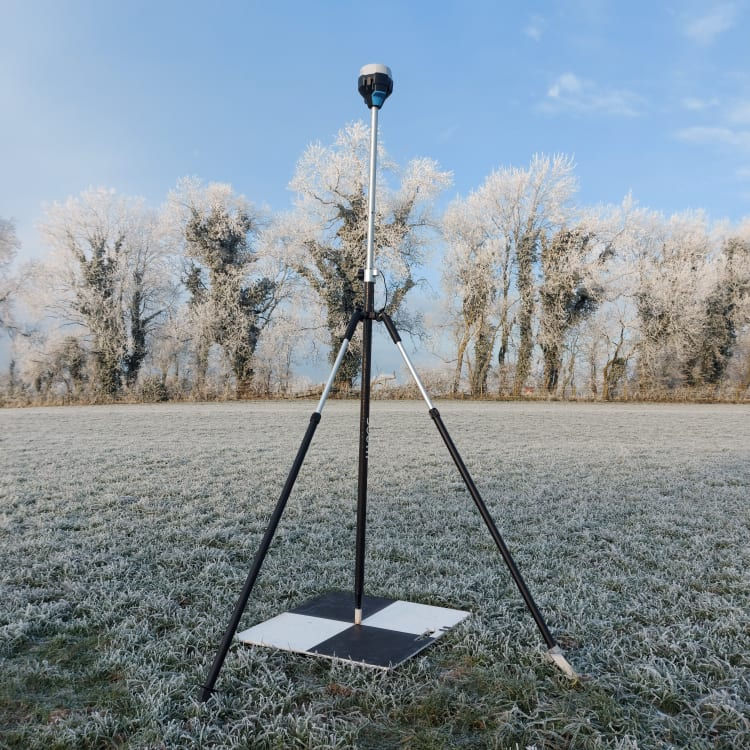
GPS Surveys
Greene Geospatial can also provide on-the-ground GPS surveys for your project, providing precise (accurate to <10mm) coordinates. If required, this can be incorporated within our other services.
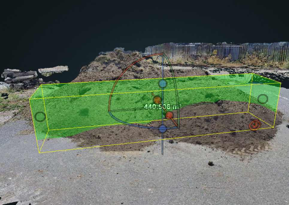
Volumetric Calculations
Using 3D models that we create, we can analyse these for a variety of uses, including volumetric calculations.
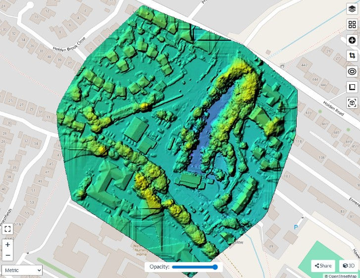
Surface Model (DSM)
Using a drone survey and specialist software, we can produce a surface model (DSM), which provides a colour-coded view of elevation changes, capturing the heights of all visible surfaces, including vegetation and buildings.
Orthomosaic Site Imagery
Satellite imagery can often be outdated and low resolution. With a drone survey and specialist software, multiple plan view photographs can be taken of your site to create one, high resolution 'orthomosaic' image of your site.
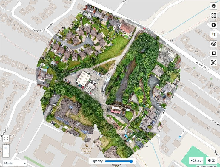
Drone Surveys
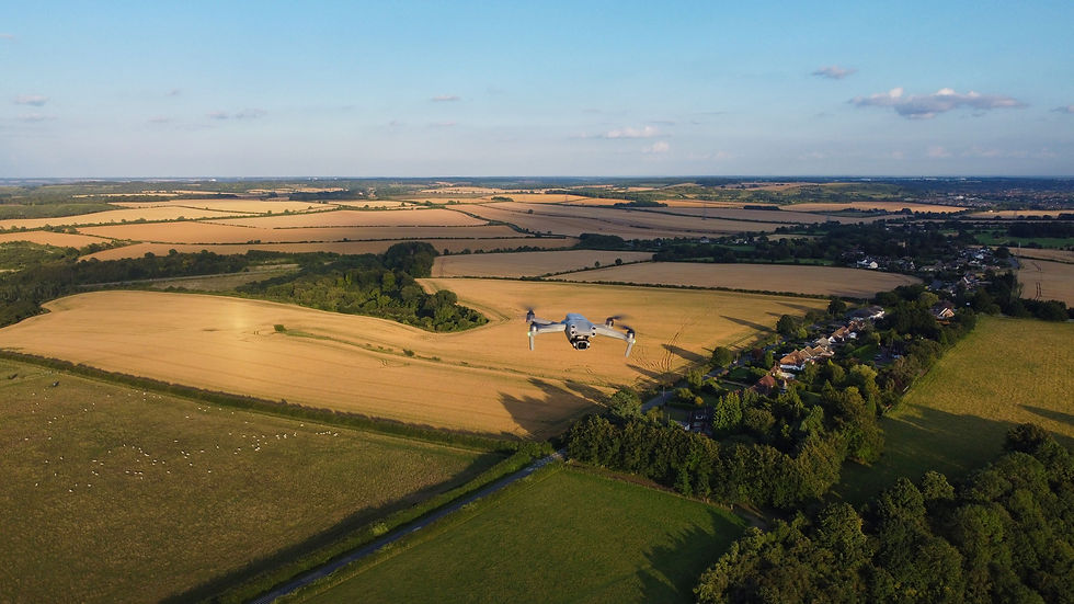
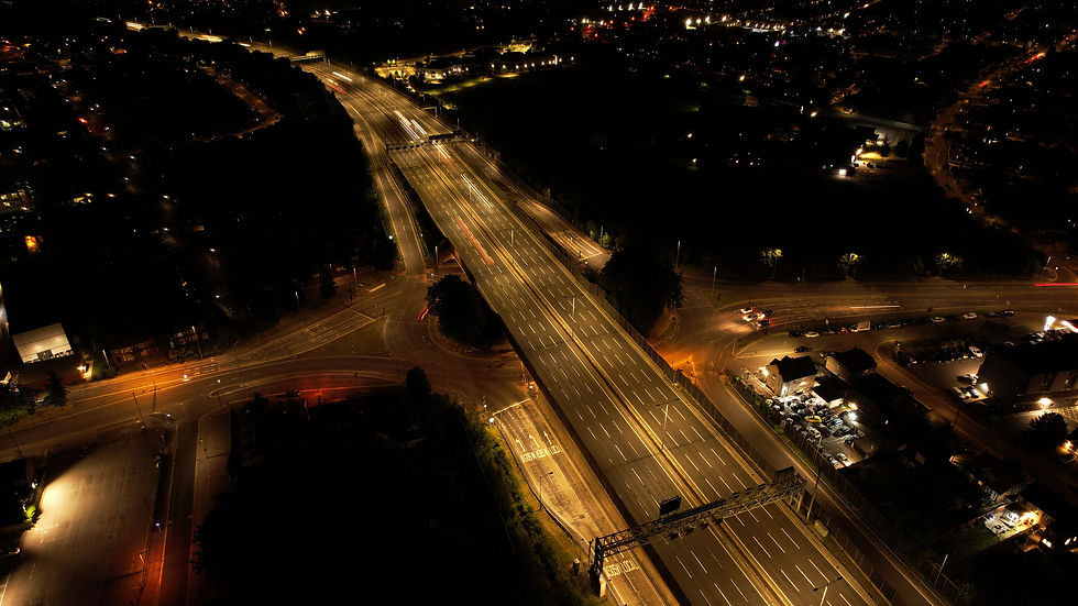
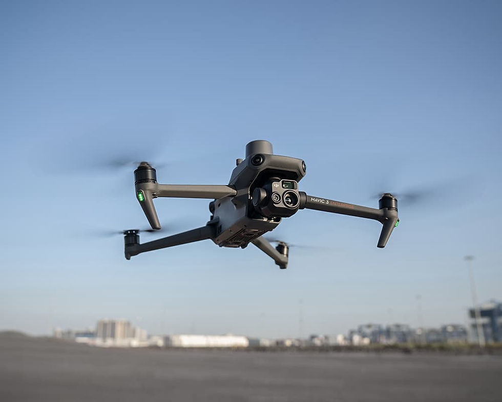
Our primary service is providing drone surveys for your site, which captures the data which we can use to produce a variety of outputs. We can capture video and photos (including timelapses) on one occasion, or at regular intervals across the lifecycle of a project. We use programmed flight paths and capture points to ensure consistency across every survey.
GIS Data Analysis and Interpretation
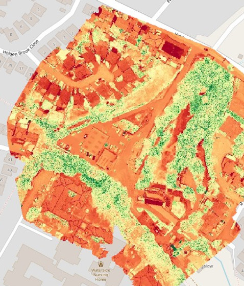
After collecting the necessary site data from our survey, we can also offer bespoke GIS data analysis and interpretation to give insight into any particular focus you may have. For example, plant health analysis, slope analysis or invasive species spread.
For more information on the services that we offer, or for how Greene Geospatial can help with your own project, please do not hesistate to contact us!
3D Modelling
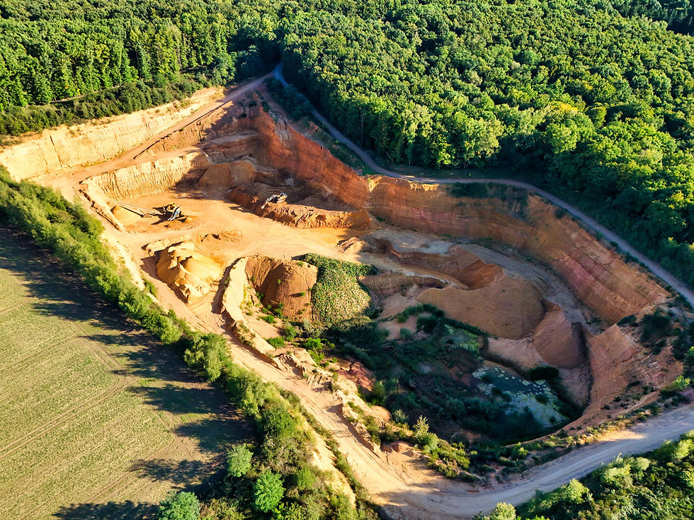
Using drone imagery, on-the-ground photography, or a combination of the two, we can produce three-dimensional (3D) models of almost anything, including buildings, excavations and landforms.
Our Services
Contact Us
If you would like to find out more about what services we offer, or if you would like to discuss a project of your own, please do not hesitate to get in touch!